Serving Calumet, Fond du Lac, Menominee, Outagamie, Shawano, Waupaca, and Winnebago counties.

GIS
GIS allows us to view, understand, question, interpret, and visualize data in many ways that reveal relationships, patterns, and trends in the form of maps, globes, reports, and charts.
ECWRPC and GIS
ECWRPC has a diversity of maps, graphics, and aerial photography available for use. We assist our member communities with mappings and specialty products such as brochures, sewer service area maps, graphics, and transportation corridor planning. East Central houses a variety of data for internal use that The Commission receives from its 10 counties in the region and other entities. Some data that we receive cannot be released without the constituent’s consent. It is a goal of the GIS Department of ECWRPC to keep up with new technology and produce high quality products / solutions that are efficiently delivered to the end user.
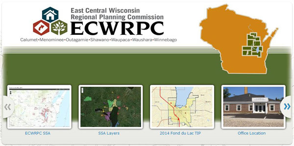
Click the picture below to view interactive maps. These maps will be continually updated and new ones added as needed.
ECWRPC’s Interactive Mapping site